Skip to main content
What We Do
Featured
Sectors
Our Work
Innovative Facilities
Flexible facility design
Modular and adaptable
Facility benchmarking
The Road to Net-Zero
Sustainability goals
Whole-life carbon assessment
Decarbonisation planning
Navigating the Future
Future-proof your facility
Increase capacity
Reshape your manufacturing
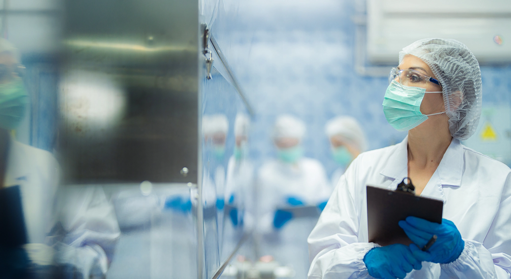
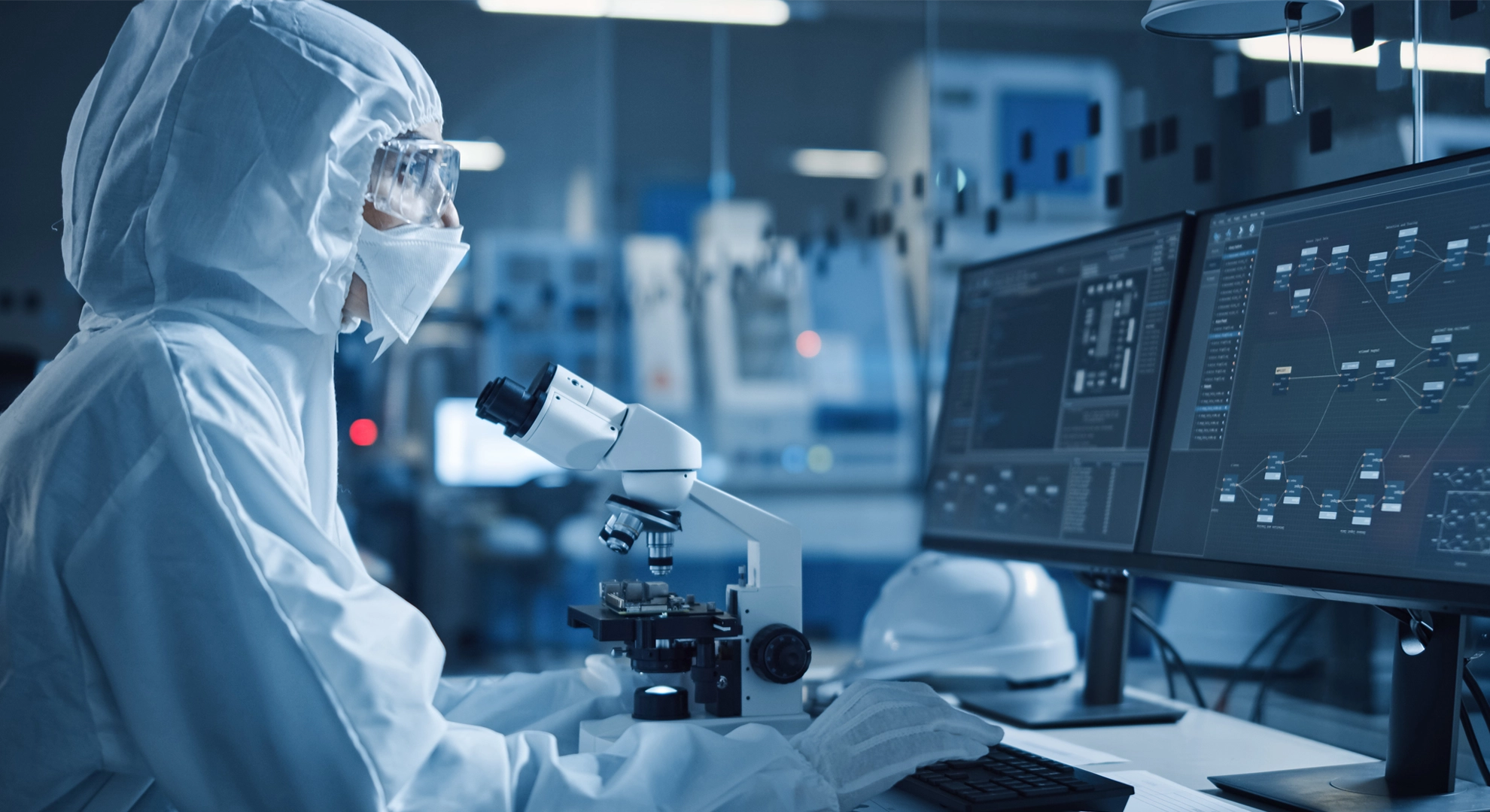
Pharmaceuticals
Medical Technologies
Food Beverage & Consumer Health
Data Centers
Advanced Manufacturing
Modular vaccines and biologics facilities
Award-winning biomedicines manufacturing facility
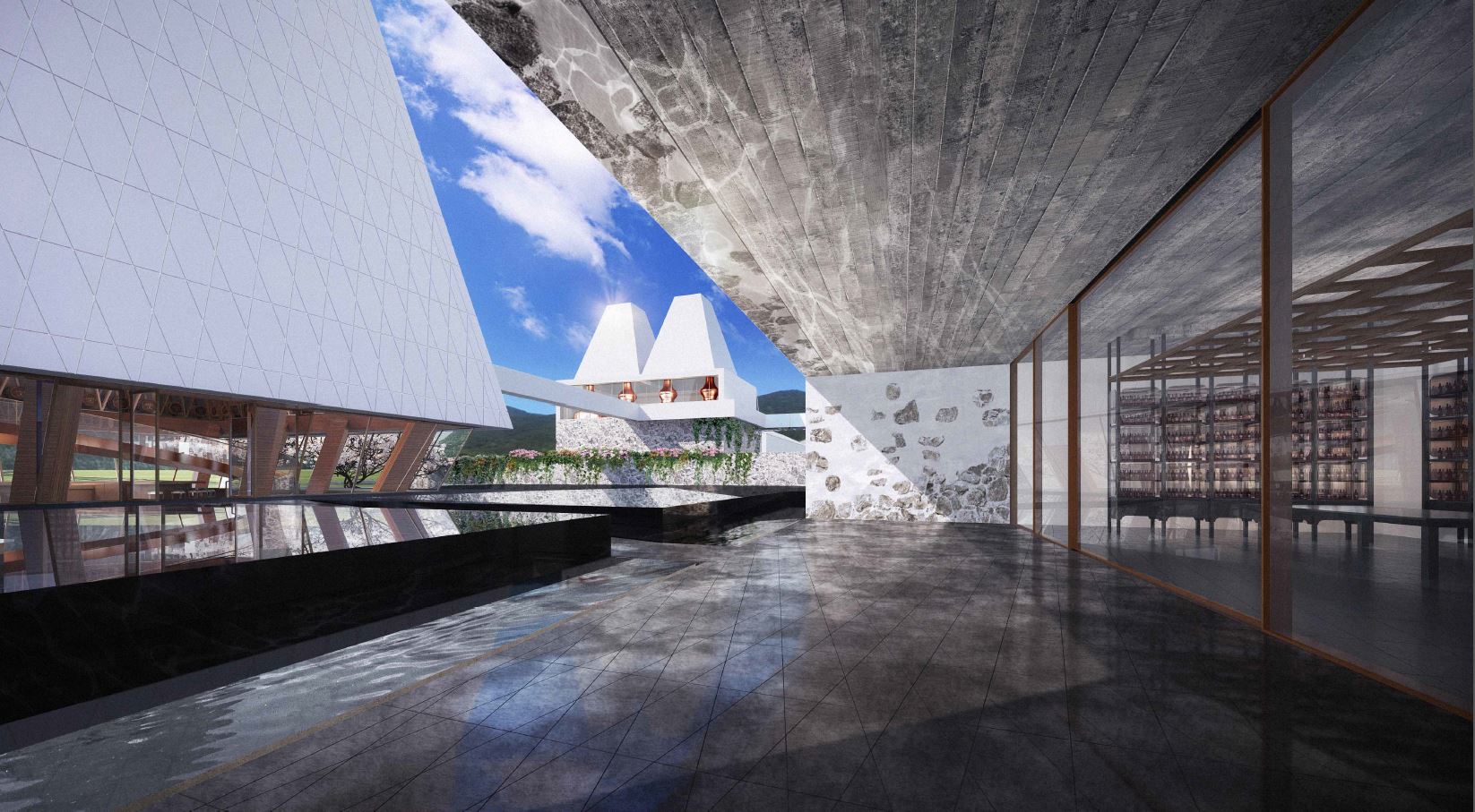
Greenfield malt whisky distillery
Cardiovascular devices manufacturing and office expansions
Biopharma R&D labs and offices development
View all
Our Approach
Delivery
Services
Project Delivery
Delivering certainty
Your project, our focus
The right delivery model
Maximise your investment
Digital & Data
Data-driven solutions
The future of manufacturing
Digital transformation
Optimising your processes
Living Safety™
Safe assets
Delivered safely
Safe healthy motivated people
Pre-Project
Site Selection
Feasibility
Masterplanning
Design
Architecture
Engineering
Sustainability
Environmental
Automation
Process Safety
Construction
Construction Services
Procurement
Commission & Validate
Commissioning, Qualification & Validation
Data Center Cx
Site Teams
Managed Service
Outsourced Technical People
People & Culture
About Us
Leadership
Our People
Environmental, Social & Governance
Careers
News & Insights
Locations
What We Do
What We Do
Featured
Featured
Innovative Facilities
Flexible facility design
Modular and adaptable
Facility benchmarking
The Road to Net-Zero
Sustainability goals
Whole-life carbon assessment
Decarbonisation planning
Navigating the Future
Future-proof your facility
Increase capacity
Reshape your manufacturing
Sectors
Sectors
Pharmaceuticals
Medical Technologies
Food Beverage & Consumer Health
Data Centers
Advanced Manufacturing
Our Work
Our Work
Modular vaccines and biologics facilities
Award-winning biomedicines manufacturing facility
Greenfield malt whisky distillery
Cardiovascular devices manufacturing and office expansions
Biopharma R&D labs and offices development
View all
Our Approach
Our Approach
Delivery
Delivery
Project Delivery
Delivering certainty
Your project, our focus
The right delivery model
Maximise your investment
Digital & Data
Data-driven solutions
The future of manufacturing
Digital transformation
Optimising your processes
Living Safety™
Safe assets
Delivered safely
Safe healthy motivated people
Services
Services
Pre-Project
Site Selection
Feasibility
Masterplanning
Design
Architecture
Engineering
Sustainability
Environmental
Automation
Process Safety
Construction
Construction Services
Procurement
Commission & Validate
Commissioning, Qualification & Validation
Data Center Cx
Site Teams
Managed Service
Outsourced Technical People
People & Culture
People & Culture
About Us
Leadership
Our People
Environmental, Social & Governance
Careers
Search...
Search By
News
Insights
Our work
Get in touch
Please enter your name
Company name
Your email
Message
I have read and accept the
privacy statement
.
Thank you.
We will be in touch soon.
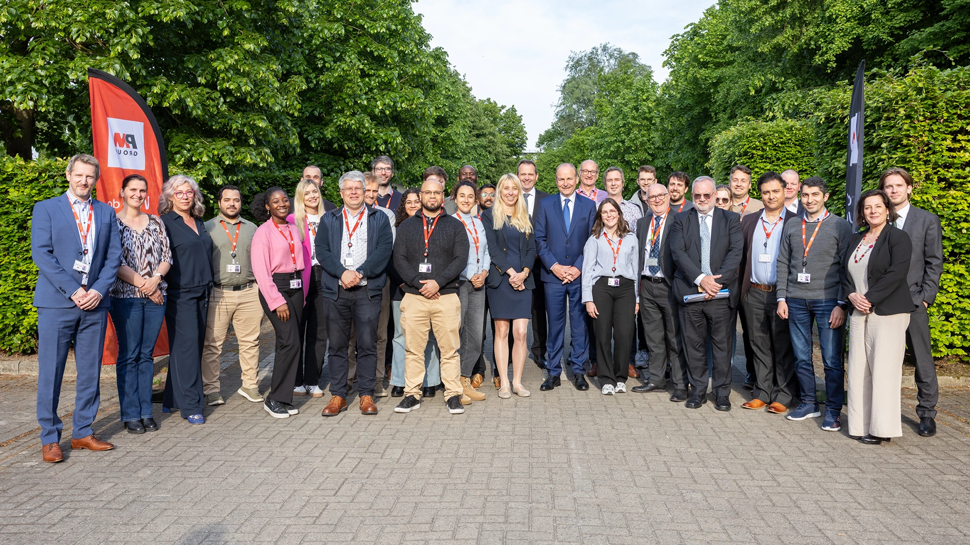
News
PM Group grows to 200 people in Benelux
News
PM Group grows to 200 people in Benelux
Read more
News & Insights
Refine By
News
Women in Engineering: Insights and Inspiration:
A client collaboration panel discussion for International 'Women in Engineering' Day.
Insights
Transforming to sustainable energy efficiency:
Driving decarbonisation in pharma through heat pump innovation
News
PM Times, Summer edition 2025:
Catch up with the latest news and happenings from across our company.
News
The hidden driver of laboratory efficiency:
Unveiling the 7th A - Activity
Insights
The Net-Zero pharma manufacturing challenge:
Unpacking pharma’s path to Net-Zero challenges, strategies and solutions
Load More